Satlas

About Satlas
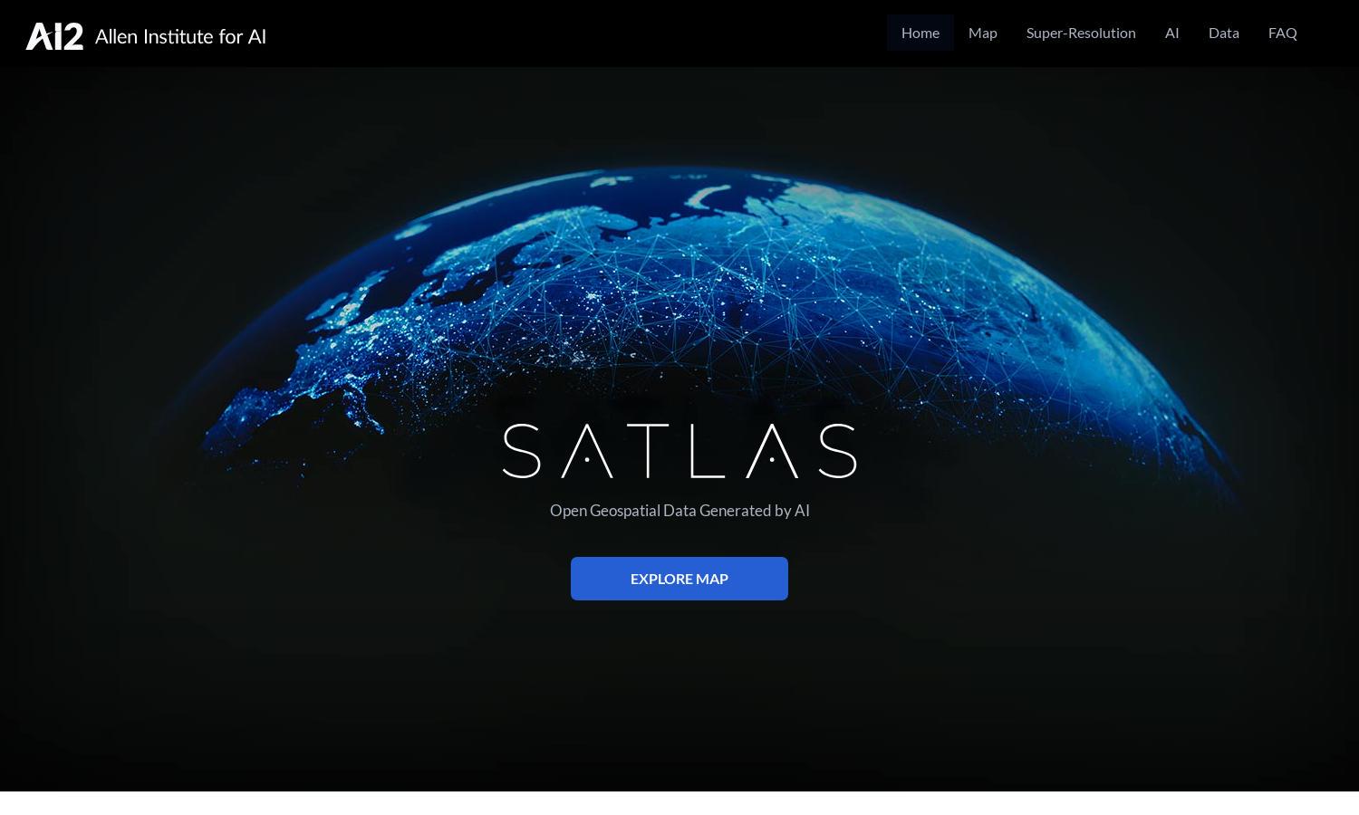
Satlas is an innovative platform that utilizes AI-annotated satellite imagery to help users explore environmental changes worldwide. Its main feature, super-resolution technology, transforms low-resolution images into high-definition visuals, providing detailed insights for researchers, policymakers, and educators interested in understanding global transformations.
Satlas offers a range of pricing plans, including free access to basic tools and datasets. Premium plans unlock additional features like advanced analyses and comprehensive datasets. Users can benefit from discounts for early subscriptions, making it an excellent choice for researchers and organizations focused on environmental data.
The Satlas user interface features a clean and intuitive design that enhances the browsing experience. Users can easily navigate through various tools and datasets, exploring satellite imagery and geospatial data. Its user-friendly layout ensures that both novice and expert users can access vital information effortlessly.
How Satlas works
To interact with Satlas, users start by registering for an account, where they can access a variety of AI-generated datasets and tools. After onboarding, users navigate the platform via an intuitive interface, exploring satellite imagery, viewing geospatial changes, and utilizing super-resolution features to analyze environmental transformations effectively.
Key Features for Satlas
AI-annotated Satellite Imagery
Satlas provides cutting-edge AI-annotated satellite imagery, allowing users to visualize and understand our planet's environmental changes in great detail. This unique feature enhances users' abilities to conduct research and make informed decisions regarding ecological impacts, resource management, and more.
Super-Resolution Imaging
Satlas's super-resolution imaging significantly enhances low-resolution satellite images, transforming them into detailed, high-resolution visuals. This feature empowers users to gain deeper insights into environmental changes, improving the quality of analyses and fostering better understanding of global transformations.
Freely Available Geospatial Datasets
The platform offers freely available geospatial datasets, allowing users to download and analyze crucial environmental information offline. This feature ensures that researchers and organizations have access to essential data, enhancing their ability to address pressing environmental issues effectively through informed decision-making.
You may also like:


